Detailed map
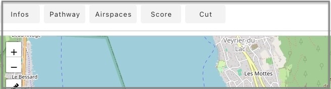
The detailed flight map displays a toolbar showing the following items:
Infs
This section provides a detailed analysis of the flight, which can also be accessed from the context menu of the logbook. Refer to the Analysis page for more details.
Chronology
Reconstructs the chronology of the flight by distinguishing thermal phases, transition phases, and descent phases. In the window, the best thermal is highlighted in green, while the longest transition is highlighted in orange.
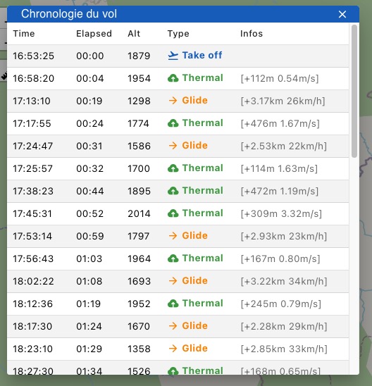
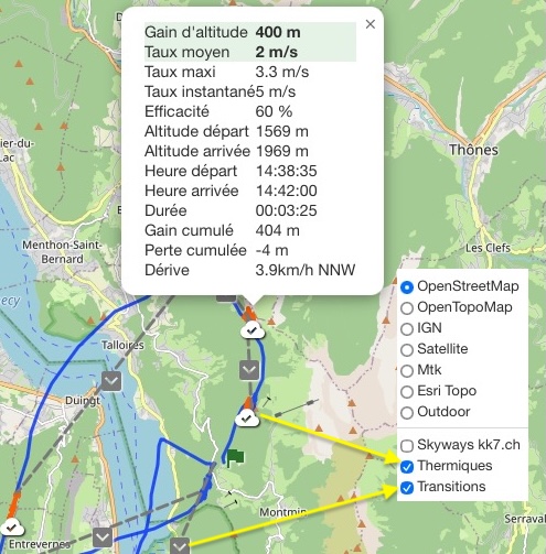
Each phase is displayed on the chart, and clicking on an icon displays detailed information.
You can hide/show thermal and transition phases using the layer selector
Airspaces
1. Displaying Airspaces
Airspaces will be displayed based on data available from OpenAIP.
A filtering window is displayed, allowing you to select airspace types, floor limits, and radius around the flight path. For more information on airspaces, refer to the Airspaces section
4. Checking Flight Track
To check if the flight track respected airspaces in effect on the day of the flight, you can choose from three sources:
- OpenAIP: The OpenAIP platform provides globally updated aeronautical data. It relies on contributions from a dynamic community.
- Bazile source: A site maintained by an enthusiast who performs extensive work on organizing and categorizing airspace data related to our activity. Clicking the link loads the latest version for France from Pascal Bazile's website.
- Local file source: Opens a file located on the user's computer, with the required format being OpenAir
Also refer to the Airspaces/Checking page.
Score
Allows scoring of the flight path. Refer to the Scoring page for more details.
Track +
This button allows you to display a second track on the map. Use the file selector to choose a file in igc format.
The track is displayed as a red dotted line. Hover over the track until the cursor changes to a hand, then click on it to update the lower graph showing altitude and ground level. If necessary, zoom in to enable the cursor change.
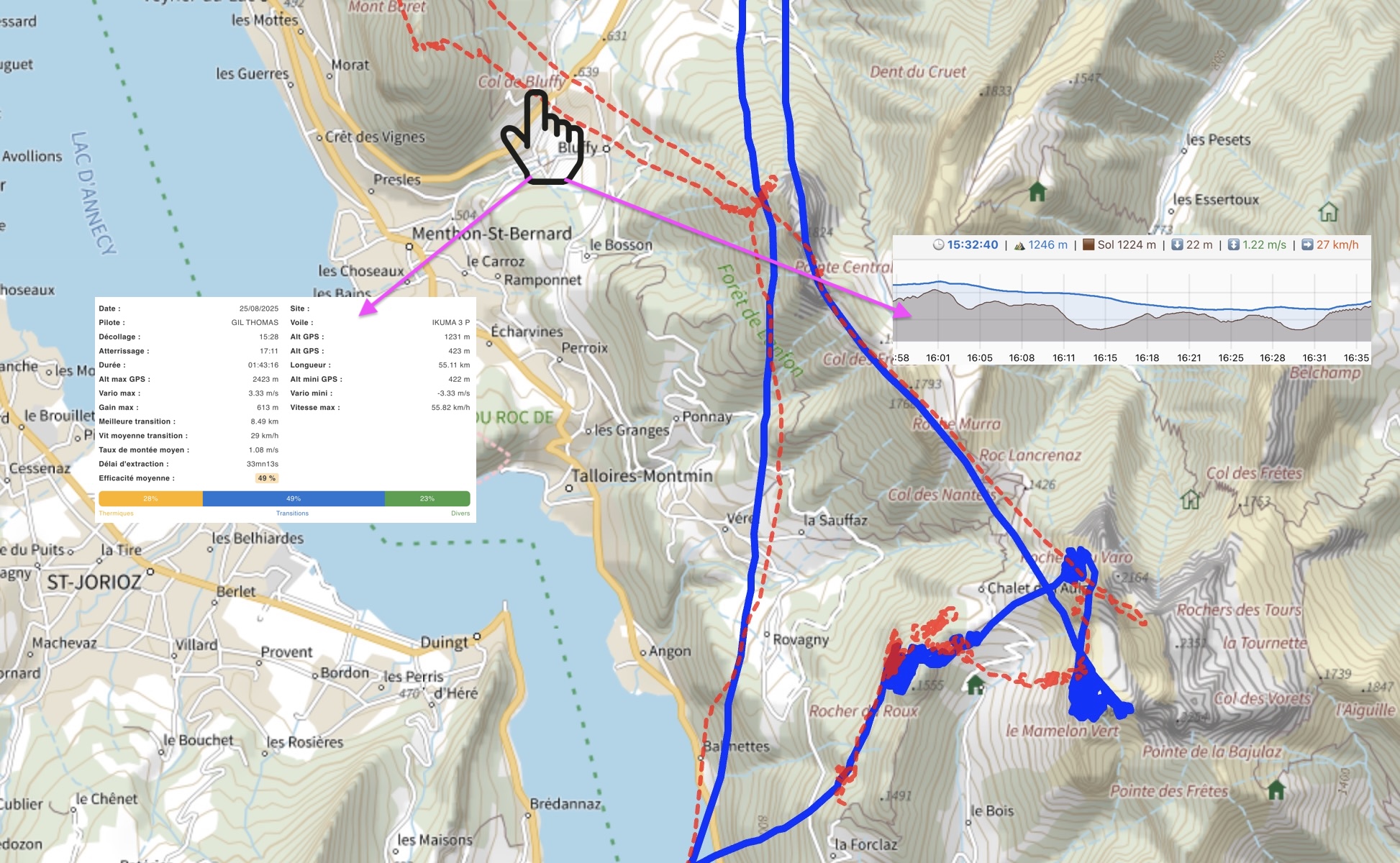
The Info panel displays informations about this track.
Cut
You can remove unnecessary points from the flight path. One common case is forgetting to turn off the GPS after landing.
The process involves selecting the portion to be kept. Select by clicking on the altitude curve at the start of the section to be kept and then click on the point marking the end of the section to be kept.
On each click, a dotted vertical line should appear, with the conserved area materialized in green. A confirmation window will appear.
